
Langeveen topographic map
Interactive map
Click on the map to display elevation.
About this map
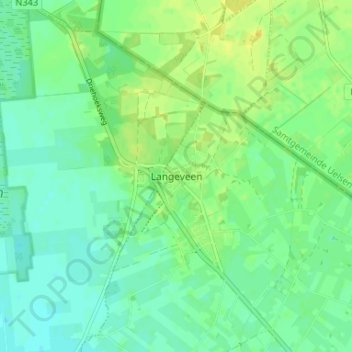
Name: Langeveen topographic map, elevation, terrain.
Location: Langeveen, Overijssel, Niederlande, 7679, Niederlande (52.44984 6.69233 52.48984 6.73233)
Average elevation: 19 m
Minimum elevation: 10 m
Maximum elevation: 30 m