Geolocate

Renapur topographic map

Click on the map to display elevation.

About this map

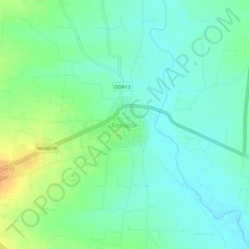
Name: Renapur topographic map, elevation, terrain.

Location: Renapur, Latur District, Maharashtra, 413527, India (18.50643 76.57677 18.54643 76.61677)

Average elevation: 603 m

Minimum elevation: 591 m

Maximum elevation: 625 m

Gear up for your next adventure:

🥤Collapsible Travel Cup - Saves space and weight in your mess kit
Tent Footprint - Protect tent floor and increase durability
🧰Survival Kit - Essential gear for emergencies in the wilderness
🧭GPS Handheld Device - Reliable GPS navigation for outdoor adventures
🧦Outdoor Socks - Durable socks designed for hiking and outdoor sports

As an Amazon Associate, this site earns from qualifying purchases at no extra cost to you.