
Flay topographic map
Interactive map
Click on the map to display elevation.
About this map
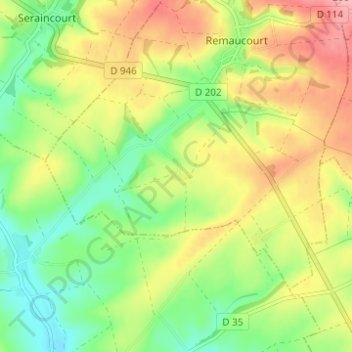
Name: Flay topographic map, elevation, terrain.
Location: Flay, Rethel, Ardennes, Grand Est, France métropolitaine, France (49.57310 4.20486 49.61310 4.24486)
Average elevation: 134 m
Minimum elevation: 85 m
Maximum elevation: 192 m