Geolocate

Wiradesa topographic map

Click on the map to display elevation.

About this map

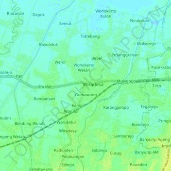
Name: Wiradesa topographic map, elevation, terrain.

Location: Wiradesa, Pekalongan, Central Java, Java, 51139, Indonesia (-6.93279 109.57793 -6.85279 109.65793)

Average elevation: 6 m

Minimum elevation: -2 m

Maximum elevation: 15 m

Gear up for your next adventure:

💧Reusable Water Bottle - Durable water bottles for hydration on trails
🥾Approach Boots - Comfortable boots for hiking and climbing approaches
Tent Footprint - Protect tent floor and increase durability
🧦Hiking Liner Socks - Thin base layer to prevent friction and blisters
🔭Compact Monocular - One-handed bird watching and trail spotting

As an Amazon Associate, this site earns from qualifying purchases at no extra cost to you.