
Múcura topographic map
Interactive map
Click on the map to display elevation.
About this map
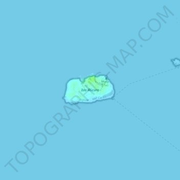
Name: Múcura topographic map, elevation, terrain.
Location: Múcura, Bolívar, Colombie (9.77951 -75.87641 9.78401 -75.86856)
Average elevation: 0 m
Minimum elevation: 0 m
Maximum elevation: 8 m
Other topographic maps
Click on a map to view its topography, its elevation and its terrain.