
Tanah Datar topographic map
Interactive map
Click on the map to display elevation.
About this map
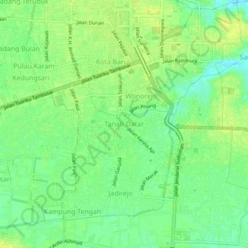
Name: Tanah Datar topographic map, elevation, terrain.
Location: Tanah Datar, Kabupaten Kampar, Riau, 28128, Indonésie (0.48010 101.42627 0.52010 101.46627)
Average elevation: 15 m
Minimum elevation: 5 m
Maximum elevation: 22 m
Other topographic maps
Click on a map to view its topography, its elevation and its terrain.
Pekanbaru
Indonésie > Riau > Kabupaten Kampar > Pekanbaru
Pekanbaru, Kabupaten Kampar, Riau, 28141, Indonésie
Average elevation: 22 m