
L Église topographic map
Interactive map
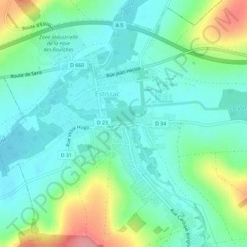
Click on the map to display elevation.
About this map
Name: L Église topographic map, elevation, terrain.
Average elevation: 152 m
Minimum elevation: 125 m
Maximum elevation: 226 m
Other topographic maps
Click on a map to view its topography, its elevation and its terrain.
Rue du Moulin
Francia > Gran Este > Estissac
Rue du Moulin, Estissac, Troyes, Aube, Gran Este, Francia metropolitana, 10190, Francia
Average elevation: 149 m