
Rávena topographic map
Interactive map
Click on the map to display elevation.
About this map
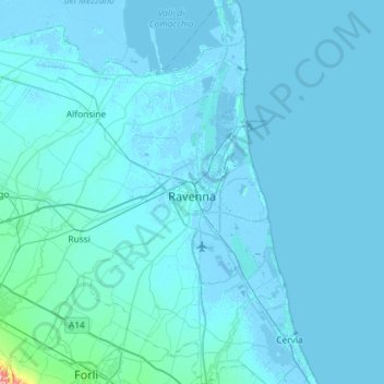
Name: Rávena topographic map, elevation, terrain.
Location: Rávena, RA, Emilia-Romaña, Italia (44.21314 12.02909 44.62834 12.34828)
Average elevation: 4 m
Minimum elevation: -9 m
Maximum elevation: 194 m