
Leek topographic map
Interactive map
Click on the map to display elevation.
About this map
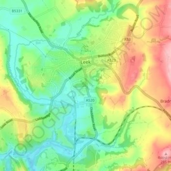
Name: Leek topographic map, elevation, terrain.
Average elevation: 193 m
Minimum elevation: 135 m
Maximum elevation: 285 m
Other topographic maps
Click on a map to view its topography, its elevation and its terrain.
Cheadle
Royaume-Uni > Angleterre > Staffordshire > Staffordshire Moorlands
Cheadle, Staffordshire Moorlands, Staffordshire, Angleterre, Royaume-Uni
Average elevation: 191 m
Biddulph
Royaume-Uni > Angleterre > Staffordshire > Staffordshire Moorlands
Biddulph, Staffordshire Moorlands, Staffordshire, Angleterre, Royaume-Uni
Average elevation: 210 m