Geolocate

Palo Verde topographic map

Click on the map to display elevation.

About this map

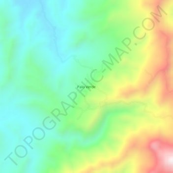
Name: Palo Verde topographic map, elevation, terrain.

Location: Palo Verde, Bolívar, Sur, Cauca, Pacífica, Colombia (1.85600 -77.06127 1.89600 -77.02127)

Average elevation: 914 m

Minimum elevation: 651 m

Maximum elevation: 1,434 m

Gear up for your next adventure:

🥾Hiking Boots - Sturdy boots providing ankle support and traction on rugged trails
🔥Camping Stove - Portable stoves to cook outdoors with ease
🚲Heavy Duty Bike Lock - Secure your bike at the trailhead or during stops
🧭GPS Handheld Device - Reliable GPS navigation for outdoor adventures
👟Leg Gaiters - Keep debris, mud, and snow out of your boots

As an Amazon Associate, this site earns from qualifying purchases at no extra cost to you.