
Ahusen topographic map
Interactive map
Click on the map to display elevation.
About this map
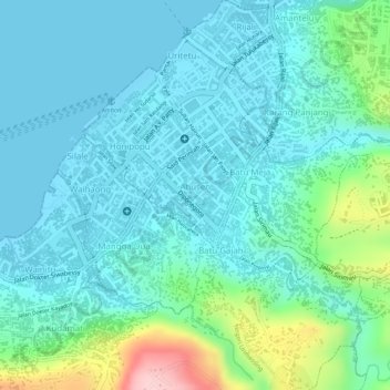
Name: Ahusen topographic map, elevation, terrain.
Location: Ahusen, Ambon, Moluques, Maluku, Indonésie (-3.70358 128.17899 -3.69622 128.18542)
Average elevation: 47 m
Minimum elevation: 0 m
Maximum elevation: 223 m