
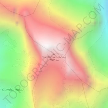
Peak Korzhenevskaya topographic map
Interactive map
Click on the map to display elevation.
About this map
Name: Peak Korzhenevskaya topographic map, elevation, terrain.
Average elevation: 6,141 m
Minimum elevation: 4,996 m
Maximum elevation: 7,084 m
Other topographic maps
Click on a map to view its topography, its elevation and its terrain.
Vahdat
Tajikistan > Districts of Republican Subordination > Lakhsh
Vahdat, Lakhsh, Districts of Republican Subordination, Tajikistan
Average elevation: 2,092 m