Geolocate

Intermesoli topographic map

Click on the map to display elevation.

About this map

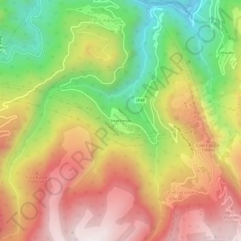
Name: Intermesoli topographic map, elevation, terrain.

Location: Intermesoli, Pietracamela, Teramo, Abruzzo, 64044, Italy (42.51546 13.52134 42.55546 13.56134)

Average elevation: 888 m

Minimum elevation: 403 m

Maximum elevation: 1,340 m

Gear up for your next adventure:

🛏️Camping Sleeping Mat - Comfortable mats for sleeping outdoors
💧Hydration Pack - Hands-free hydration system for long hikes
🌬️Windproof Camp Stove - Efficient cooking even on exposed mountain peaks
🪜Heavy Duty Carabiners - Multi-use clips for securing gear to your backpack
🥾Trail Running Boots - Durable shoes designed for trail running

As an Amazon Associate, this site earns from qualifying purchases at no extra cost to you.