Geolocate

Vogelherd topographic map

Click on the map to display elevation.

About this map

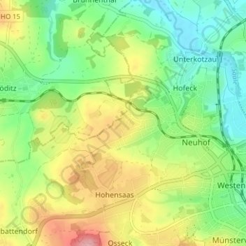
Name: Vogelherd topographic map, elevation, terrain.

Location: Vogelherd, Hohensaas, Hof, Bayern, 95030, Deutschland (50.30518 11.85888 50.34518 11.89888)

Average elevation: 528 m

Minimum elevation: 465 m

Maximum elevation: 626 m

Gear up for your next adventure:

🛰️Satellite Messenger - Emergency communication for areas with no cell service
🧥Waterproof Jacket - Lightweight rain jackets for hiking and outdoor activities
📷Outdoor Action Camera - Capture high-elevation views and rugged adventures
🥾Waterproof Hiking Boots - Essential footwear for rugged terrain and wet Canadian trails
🩹Compact First Aid Kit - Pre-packed essentials for common trail injuries

As an Amazon Associate, this site earns from qualifying purchases at no extra cost to you.