
Bukit Arang topographic map
Click on the map to display elevation.
About this map
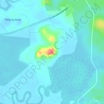
Name: Bukit Arang topographic map, elevation, terrain.
Location: Bukit Arang, Tanjung Surat, Kota Tinggi, Johor, Malaysia (1.44774 104.10211 1.44784 104.10221)
Average elevation: 10 m
Minimum elevation: -8 m
Maximum elevation: 71 m