
Make a donation
Gear up for your next adventure:
As an Amazon Associate, this site earns from qualifying purchases at no extra cost to you.
Müggelsee topographic map
Click on the map to display elevation.
Make a donation
Gear up for your next adventure:
As an Amazon Associate, this site earns from qualifying purchases at no extra cost to you.
About this map
Name: Müggelsee topographic map, elevation, terrain.
Average elevation: 91 m
Minimum elevation: 82 m
Maximum elevation: 100 m
Make a donation
Gear up for your next adventure:
As an Amazon Associate, this site earns from qualifying purchases at no extra cost to you.
Other topographic maps
Click on a map to view its topography, its elevation and its terrain.
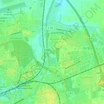
Sorsum
Deutschland > Niedersachsen > Landkreis Hildesheim > Hildesheim
Stadtmitte und Neustadt | Marienburger Höhe mit Galgenberg | Moritzberg | Nordstadt mit Steuerwald | Oststadt
Average elevation: 164 m
Make a donation
Gear up for your next adventure:
As an Amazon Associate, this site earns from qualifying purchases at no extra cost to you.