
Khachrod topographic map
Click on the map to display elevation.
Khachrod
Khachrod is located at 23°25′N 75°17′E / 23.42°N 75.28°E / 23.42; 75.28. It sits at an elevation of 485 metres (1591 feet).
About this map
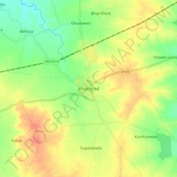
Name: Khachrod topographic map, elevation, terrain.
Average elevation: 497 m
Minimum elevation: 473 m
Maximum elevation: 520 m