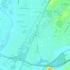
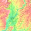
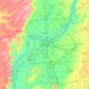
Louisville topographic map
Click on the map to display elevation.
Louisville
Throughout January 1937, 19.17 inches (48.7 cm) of rain fell in Louisville, and by January 27, the Ohio River crested at a record 57.15 feet (17.42 m), almost 30 feet (9.1 m) above flood stage. These events triggered the "Great Flood of 1937", which lasted into early February. The flood submerged 60–70 percent of the city, caused complete loss of power for four days, and forced the evacuation of 175,000 or 230,000 residents, depending on sources. Ninety people died as a result of the flood. It led to dramatic changes in where residents lived. Today, the city is protected by numerous flood walls. After the flood, the areas of high elevation in the eastern part of the city had decades of residential growth.
About this map
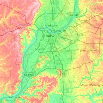
Name: Louisville topographic map, elevation, terrain.
Location: Louisville, Jefferson County, Kentucky, United States (37.99710 -85.94706 38.38014 -85.40510)
Average elevation: 188 m
Minimum elevation: 114 m
Maximum elevation: 306 m
Other topographic maps
Click on a map to view its topography, its elevation and its terrain.

Iroquois Park
United States > Kentucky > Jefferson County > Louisville > Parkwood
Average elevation: 167 m








E.P. "Tom" Sawyer State Park
United States > Kentucky > Jefferson County > Louisville > Lakeland
Average elevation: 209 m
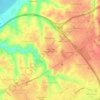
Indian Hills Cherokee Section
United States > Kentucky > Jefferson County > Indian Hills
Average elevation: 168 m