
Fakoi topographic map
Interactive map
Click on the map to display elevation.
About this map
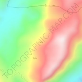
Name: Fakoi topographic map, elevation, terrain.
Location: Fakoi, Fako, Maluku Tenggara, Molukken, Indonesien (-5.61672 133.04995 -5.61662 133.05005)
Average elevation: 341 m
Minimum elevation: 23 m
Maximum elevation: 607 m