
Herzbroich topographic map
Interactive map
Click on the map to display elevation.
About this map
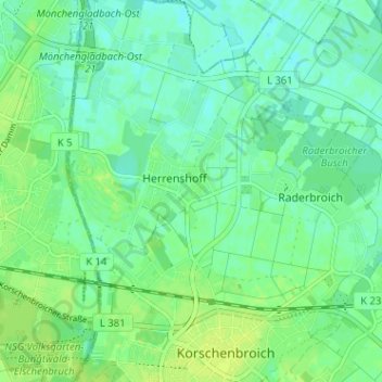
Name: Herzbroich topographic map, elevation, terrain.
Average elevation: 42 m
Minimum elevation: 36 m
Maximum elevation: 48 m
Other topographic maps
Click on a map to view its topography, its elevation and its terrain.
Glehn
Deutschland > Nordrhein-Westfalen > Rhein-Kreis Neuss > Korschenbroich
Glehn, Korschenbroich, Rhein-Kreis Neuss, Nordrhein-Westfalen, Deutschland
Average elevation: 53 m