
Parque do Varvito topographic map
Click on the map to display elevation.
About this map
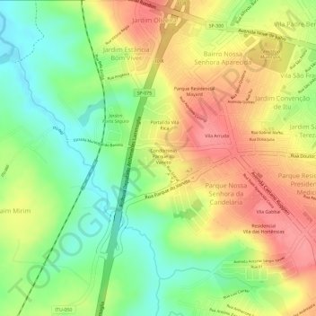
Name: Parque do Varvito topographic map, elevation, terrain.
Average elevation: 566 m
Minimum elevation: 519 m
Maximum elevation: 608 m
Other topographic maps
Click on a map to view its topography, its elevation and its terrain.
Centro Histórico da Cidade de Itu
Brasil > São Paulo > Região Metropolitana de Sorocaba > Itu
Average elevation: 584 m
Parque Nossa Senhora da Candelária
Brasil > São Paulo > Região Metropolitana de Sorocaba > Itu
Average elevation: 572 m