Geolocate

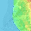
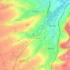
Audruicq topographic map

Click on the map to display elevation.

About this map
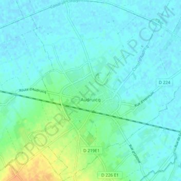
Name: Audruicq topographic map, elevation, terrain.

Location: Audruicq, Calais, Pas-de-Calais, Hauts-de-France, Metropolitan France, 62370, France (50.85798 2.05115 50.90382 2.12053)

Average elevation: 7 m

Minimum elevation: -1 m

Maximum elevation: 29 m

Other topographic maps

Click on a map to view its topography, its elevation and its terrain.

Panehem

France > Hauts-de-France > Pas-de-Calais > Samer

Average elevation: 70 m

Le Petit Vimy

France > Hauts-de-France > Pas-de-Calais > Vimy

Average elevation: 93 m

Noyelles

France > Hauts-de-France > Pas-de-Calais > Bours

Average elevation: 125 m

Gear up for your next adventure:

🛌Down Sleeping Bag - Superior warmth-to-weight ratio for cold nights
🧥Waterproof Jacket - Lightweight rain jackets for hiking and outdoor activities
💡Portable Camping Lamp - Rechargeable lamp for campsite lighting
🕯️Camping Lantern - Illuminates your entire campsite with high-efficiency LEDs
🧥Softshell Hiking Jacket - The perfect balance of wind protection and breathability

As an Amazon Associate, this site earns from qualifying purchases at no extra cost to you.