
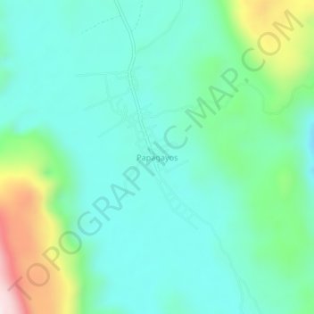
Papagayos topographic map
Interactive map
Click on the map to display elevation.
About this map
Name: Papagayos topographic map, elevation, terrain.
Location: Papagayos, Ciudad del Maíz, San Luis Potosí, México (22.34108 -99.47175 22.38108 -99.43175)
Average elevation: 1,058 m
Minimum elevation: 921 m
Maximum elevation: 1,493 m