
Make a donation
Gear up for your next adventure:
As an Amazon Associate, this site earns from qualifying purchases at no extra cost to you.
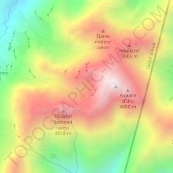
Haut-Atlas topographic map
Click on the map to display elevation.
Make a donation
Gear up for your next adventure:
As an Amazon Associate, this site earns from qualifying purchases at no extra cost to you.
Haut-Atlas
L'Atlas (en arabe : جبال الأطلس, jibāl al-aṭlas) est un massif montagneux de l'Afrique du Nord, culminant à 4 167 mètres d'altitude au djebel Toubkal, au Maroc. Il s'étend sur trois pays : l'Algérie, le Maroc et la Tunisie.
Make a donation
Gear up for your next adventure:
As an Amazon Associate, this site earns from qualifying purchases at no extra cost to you.
About this map
Name: Haut-Atlas topographic map, elevation, terrain.
Average elevation: 3,605 m
Minimum elevation: 3,009 m
Maximum elevation: 4,160 m
Make a donation
Gear up for your next adventure:
As an Amazon Associate, this site earns from qualifying purchases at no extra cost to you.