
Thank you for supporting this site ❤️
Make a donation
Make a donation
Gear up for your next adventure:
As an Amazon Associate, this site earns from qualifying purchases at no extra cost to you.
Shela topographic map
Click on the map to display elevation.
Thank you for supporting this site ❤️
Make a donation
Make a donation
Gear up for your next adventure:
As an Amazon Associate, this site earns from qualifying purchases at no extra cost to you.
About this map
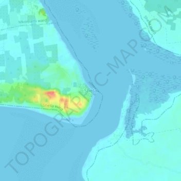
Name: Shela topographic map, elevation, terrain.
Location: Shela, Shella ward, Lamu West, Lamu, Coastal Kenya, Kenya (-2.31360 40.89545 -2.27360 40.93545)
Average elevation: 5 m
Minimum elevation: -1 m
Maximum elevation: 54 m
Thank you for supporting this site ❤️
Make a donation
Make a donation
Gear up for your next adventure:
As an Amazon Associate, this site earns from qualifying purchases at no extra cost to you.