
Kluch topographic map
Interactive map
Click on the map to display elevation.
About this map
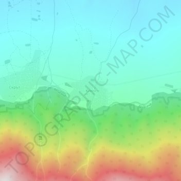
Name: Kluch topographic map, elevation, terrain.
Location: Kluch, Petrich, Blagoevgrad, 2899, Bulgaria (41.34226 22.99707 41.38226 23.03707)
Average elevation: 615 m
Minimum elevation: 234 m
Maximum elevation: 1,571 m
Other topographic maps
Click on a map to view its topography, its elevation and its terrain.
Goreme
Bulgaria > Blagoevgrad > Goreme
Goreme, Strumiani, Blagoevgrad, 2834, Bulgaria
Average elevation: 747 m
Kovachevo
Kovachevo, Sandanski, Blagoevgrad, 2824, Bulgaria
Average elevation: 395 m