
Warat topographic map
Click on the map to display elevation.
About this map
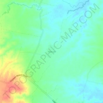
Name: Warat topographic map, elevation, terrain.
Location: Warat, Cagayan, Cagayan Valley, Philippines (17.69399 121.56265 17.73399 121.60265)
Average elevation: 50 m
Minimum elevation: 33 m
Maximum elevation: 89 m
Other topographic maps
Click on a map to view its topography, its elevation and its terrain.