Geolocate

Adelaide topographic map

Click on the map to display elevation.

About this map

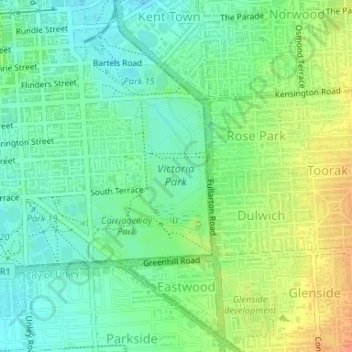
Name: Adelaide topographic map, elevation, terrain.

Location: Adelaide, The City of Norwood Payneham and St Peters, Adelaide City Council, South Australia, 5000, Australia, Victoria Park (-34.94009 138.61522 -34.92759 138.62431)

Average elevation: 59 m

Minimum elevation: 43 m

Maximum elevation: 84 m

Other topographic maps

Click on a map to view its topography, its elevation and its terrain.

Gear up for your next adventure:

🥾Waterproof Hiking Shoes - Durable shoes for wet and rugged trails
🥾Trail Hiking Shoes - Durable shoes designed for rugged trails
🧢Beanie Hat - Keep your head warm in cold weather
Camping Groundsheet - Protect your tent from moisture and dirt
🧥Softshell Jacket - Windproof and breathable jacket for hiking

As an Amazon Associate, this site earns from qualifying purchases at no extra cost to you.