
فريانة topographic map
Interactive map
Click on the map to display elevation.
About this map
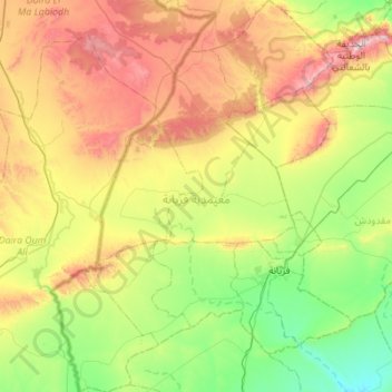
Name: فريانة topographic map, elevation, terrain.
Location: فريانة, القصرين, Tunísia (34.80557 8.24521 35.25583 8.66787)
Average elevation: 922 m
Minimum elevation: 587 m
Maximum elevation: 1,531 m