Geolocate

Wurzbach topographic map

Click on the map to display elevation.

About this map

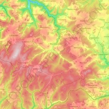
Name: Wurzbach topographic map, elevation, terrain.

Location: Wurzbach, Saale-Orla-Kreis, Thuringia, 07343, Germany (50.37398 11.47780 50.52406 11.59210)

Average elevation: 610 m

Minimum elevation: 356 m

Maximum elevation: 790 m

Other topographic maps

Click on a map to view its topography, its elevation and its terrain.

Schleiz

Germany > Thuringia > Saale-Orla-Kreis

Average elevation: 479 m

Tanna

Germany > Thuringia > Saale-Orla-Kreis

Average elevation: 556 m

Gear up for your next adventure:

🔋Solar Power Bank - Keep your GPS and devices charged during long outdoor trips
🔨Vehicle Emergency Tool - Safety tool for remote road trips to trailheads
🍽️Titanium Camping Spork - Ultralight and indestructible eating utensil
🧥Fleece Jacket - Warm and lightweight jacket for layering
🛶Canoe Life Vest - Safety vest for water sports

As an Amazon Associate, this site earns from qualifying purchases at no extra cost to you.