Geolocate

Markapur topographic map

Click on the map to display elevation.

About this map

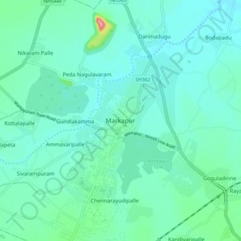
Name: Markapur topographic map, elevation, terrain.

Location: Markapur, Prakasam district, Andhra Pradesh, 523300, India (15.70067 79.22985 15.78067 79.30985)

Average elevation: 151 m

Minimum elevation: 130 m

Maximum elevation: 261 m

Gear up for your next adventure:

📷Outdoor Action Camera - Capture high-elevation views and rugged adventures
🪜Heavy Duty Carabiners - Multi-use clips for securing gear to your backpack
🥾Trail Hiking Shoes - Durable shoes designed for rugged trails
🚲MTB Frame Bag - Carry tools and maps directly on your bicycle frame
Bushcraft Tarp - Versatile emergency shelter or gear protection

As an Amazon Associate, this site earns from qualifying purchases at no extra cost to you.