
Gurla topographic map
Interactive map
Click on the map to display elevation.
About this map
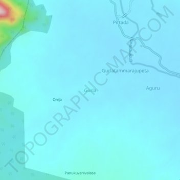
Name: Gurla topographic map, elevation, terrain.
Location: Gurla, Vizianagaram, Andhra Pradesh, Inde (18.28857 83.21592 18.32857 83.25592)
Average elevation: 126 m
Minimum elevation: 102 m
Maximum elevation: 462 m