
Cobham Lake topographic map
Interactive map
Click on the map to display elevation.
About this map
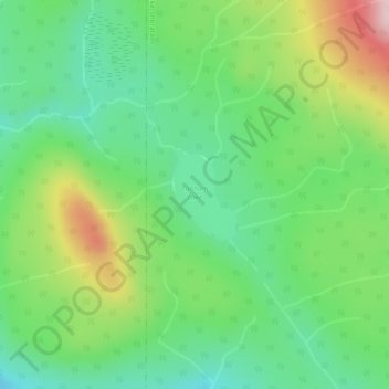
Name: Cobham Lake topographic map, elevation, terrain.
Average elevation: 932 m
Minimum elevation: 834 m
Maximum elevation: 1,116 m
Other topographic maps
Click on a map to view its topography, its elevation and its terrain.
Topley
Canada > British Columbia > Topley
Topley, Regional District of Bulkley-Nechako, British Columbia, V0J 2Y0, Canada
Average elevation: 711 m