
Gilbert topographic map
Click on the map to display elevation.
About this map
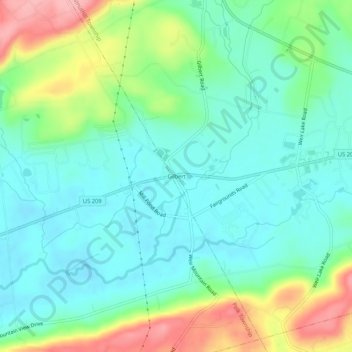
Name: Gilbert topographic map, elevation, terrain.
Average elevation: 242 m
Minimum elevation: 204 m
Maximum elevation: 330 m
Other topographic maps
Click on a map to view its topography, its elevation and its terrain.
Effort
United States > Pennsylvania > Monroe County > Chestnuthill Township > Effort
Average elevation: 286 m
Effort
United States > Pennsylvania > Monroe County > Chestnuthill Township > Effort
Average elevation: 284 m