Geolocate

Saidabad topographic map

Click on the map to display elevation.

About this map

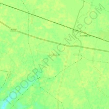
Name: Saidabad topographic map, elevation, terrain.

Location: Saidabad, Handia, Prayagraj, Uttar Pradesh, 221508, India (25.35140 82.08934 25.39140 82.12934)

Average elevation: 93 m

Minimum elevation: 81 m

Maximum elevation: 96 m

Gear up for your next adventure:

🧴Sunscreen SPF - Broad-spectrum sunscreen for outdoor activities
🌡️Emergency Mylar Blankets - Compact thermal protection for unexpected nights outdoors
🧭GPS Tracker - Track your location in remote areas safely
🥾Light Hiking Boots - Lightweight and comfortable boots for day hikes
🕶️Polarized Sunglasses - Reduces glare from snow and water at high elevations

As an Amazon Associate, this site earns from qualifying purchases at no extra cost to you.