
Sarahan topographic map
Click on the map to display elevation.
About this map
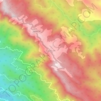
Name: Sarahan topographic map, elevation, terrain.
Location: Sarahan, Pachhad, Sirmaur, Himachal Pradesh, 173024, India (30.69833 77.17078 30.73833 77.21078)
Average elevation: 1,370 m
Minimum elevation: 952 m
Maximum elevation: 1,664 m