Geolocate

Khadwa topographic map

Click on the map to display elevation.

About this map

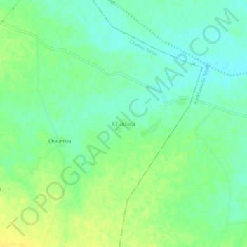
Name: Khadwa topographic map, elevation, terrain.

Location: Khadwa, Chaksu Tehsil, Jaipur, Rajasthan, India (26.53275 75.98913 26.57275 76.02913)

Average elevation: 295 m

Minimum elevation: 285 m

Maximum elevation: 306 m

Gear up for your next adventure:

🧭Orienteering Kit - Tools for map reading and navigation in the wild
🧴First Aid Kit - Essential first aid supplies for outdoor emergencies
🧴Bear Spray Holster - Quick-access carry for essential Canadian wilderness safety
🥤Collapsible Travel Cup - Saves space and weight in your mess kit
🧢Hiking Hat - Sun-protective and breathable hats for long treks

As an Amazon Associate, this site earns from qualifying purchases at no extra cost to you.