
dwara topographic map
Click on the map to display elevation.
About this map
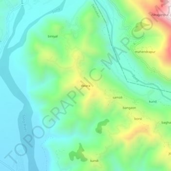
Name: dwara topographic map, elevation, terrain.
Location: dwara, Dehradun, Uttarakhand, 248001, India (30.30258 78.11202 30.34258 78.15202)
Average elevation: 868 m
Minimum elevation: 637 m
Maximum elevation: 1,488 m
Other topographic maps
Click on a map to view its topography, its elevation and its terrain.