
Indian Lake topographic map
Click on the map to display elevation.
About this map
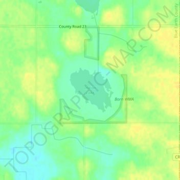
Name: Indian Lake topographic map, elevation, terrain.
Location: Indian Lake, Blue Earth County, Minnesota, United States (44.11049 -93.79137 44.11716 -93.78220)
Average elevation: 316 m
Minimum elevation: 303 m
Maximum elevation: 327 m
Other topographic maps
Click on a map to view its topography, its elevation and its terrain.
Skyline
United States > Minnesota > Blue Earth County
According to the U.S. Census Bureau, the city has a total area of 0.17 square miles (0.44 km2), all land. Its elevation is 980 feet (300 m) above sea-level.
Average elevation: 265 m