Geolocate

Lekunberri topographic map

Click on the map to display elevation.

About this map

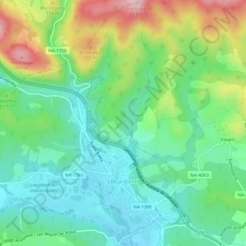
Name: Lekunberri topographic map, elevation, terrain.

Location: Lekunberri, Larraun-Leitzaldea, Navarre, 31870, Spain (42.99638 -1.92743 43.02971 -1.88443)

Average elevation: 650 m

Minimum elevation: 556 m

Maximum elevation: 850 m

Other topographic maps

Click on a map to view its topography, its elevation and its terrain.

Ear

Spain > Navarre > Larraun-Leitzaldea > Larraun

Average elevation: 824 m

Gear up for your next adventure:

Lightweight Backpacking Tent - Compact tent for efficient hiking trips
🧥Insulated Jacket - Keep warm in cold outdoor conditions
🚲Bike Repair Kit - Essential tools for on-trail mechanical issues
🧥Thermal Layer - Insulating layer for cold outdoor conditions
🍽️Titanium Camping Spork - Ultralight and indestructible eating utensil

As an Amazon Associate, this site earns from qualifying purchases at no extra cost to you.