Geolocate

El Agrado topographic map

Click on the map to display elevation.

About this map

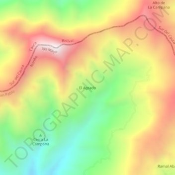
Name: El Agrado topographic map, elevation, terrain.

Location: El Agrado, San Pablo, Río Mayo, Nariño, RAP Pacífico, Colombia (1.69292 -76.96967 1.73292 -76.92967)

Average elevation: 2,672 m

Minimum elevation: 2,105 m

Maximum elevation: 3,264 m

Gear up for your next adventure:

💧Filtered Water Bottle - Safe drinking water on the go
🔪Outdoor Multitool - Versatile tool for repairs and food prep in the wild
🛶Kayak Accessories - Essential gear for safe and fun kayaking adventures
🧊Portable Cooler - Keep food and drinks cold during outdoor adventures
🧥Fleece Jacket - Warm and lightweight jacket for layering

As an Amazon Associate, this site earns from qualifying purchases at no extra cost to you.