
بازه topographic map
Interactive map
Click on the map to display elevation.
About this map
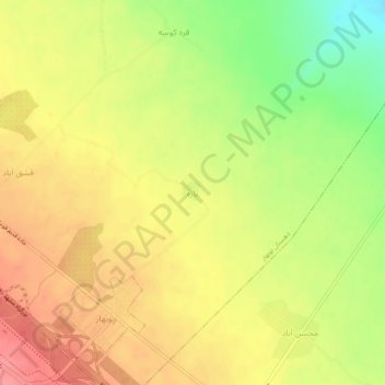
Name: بازه topographic map, elevation, terrain.
Location: بازه, بخش گلبهار, شهرستان چناران, Khorassan Ravazi, Iran (36.58190 59.20912 36.62190 59.24912)
Average elevation: 1,149 m
Minimum elevation: 1,104 m
Maximum elevation: 1,181 m