
Zacoalpan topographic map
Interactive map
Click on the map to display elevation.
About this map
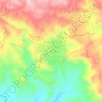
Name: Zacoalpan topographic map, elevation, terrain.
Location: Zacoalpan, Ometepec, Guerrero, 41710, México (16.72389 -98.30861 16.76389 -98.26861)
Average elevation: 243 m
Minimum elevation: 68 m
Maximum elevation: 418 m