Geolocate

Log Cabin topographic map

Click on the map to display elevation.

About this map

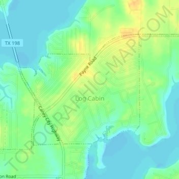
Name: Log Cabin topographic map, elevation, terrain.

Location: Log Cabin, Henderson County, Texas, United States (32.21529 -96.03473 32.23207 -96.00448)

Average elevation: 108 m

Minimum elevation: 96 m

Maximum elevation: 125 m

Gear up for your next adventure:

🥾Approach Shoes - Shoes designed for climbing approaches and rugged trails
🧦Crew Hiking Socks - Comfortable socks for long-distance hikes
🔋Solar Power Bank - Keep your GPS and devices charged during long outdoor trips
🛶Kayak Accessories - Essential gear for safe and fun kayaking adventures
🧣Evaporative Cooling Towel - Beat the heat during intense summer climbs

As an Amazon Associate, this site earns from qualifying purchases at no extra cost to you.