Geolocate

Dorada topographic map

Click on the map to display elevation.

About this map

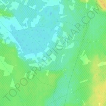
Name: Dorada topographic map, elevation, terrain.

Location: Dorada, Miguel Esteban, Toledo, Castile-La Mancha, Spain (39.49960 -3.06120 39.51960 -3.04120)

Average elevation: 674 m

Minimum elevation: 665 m

Maximum elevation: 690 m

Gear up for your next adventure:

🥾Trail Running Shoes - Lightweight and durable shoes for trail running
🥤Collapsible Travel Cup - Saves space and weight in your mess kit
Backpacking Tent - Lightweight tent for long-distance hiking trips
🔭Compact Binoculars - Lightweight optics for scouting trails and wildlife
❄️Traction Ice Cleats - Slip-on spikes for icy trails and winter hiking

As an Amazon Associate, this site earns from qualifying purchases at no extra cost to you.