Geolocate

Ananta topographic map

Click on the map to display elevation.

About this map

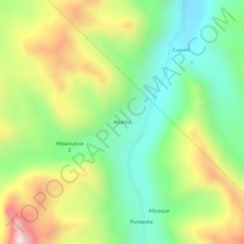
Name: Ananta topographic map, elevation, terrain.

Location: Ananta, Ituata, Province of Carabaya, Puno, Peru (-14.02981 -70.27895 -13.98981 -70.23895)

Average elevation: 4,645 m

Minimum elevation: 4,306 m

Maximum elevation: 5,168 m

Gear up for your next adventure:

💧Hydration Bladder - Hands-free hydration solution for long treks
🥾Mountain Hiking Shoes - Shoes with superior grip for mountainous terrain
🛏️Sleeping Bag - Warm and compact sleeping bags for outdoor camping
🥾Lightweight Hiking Shoes - Comfortable shoes for day hikes
🦟Insect Repellent - Keep mosquitoes and black flies away in wooded areas

As an Amazon Associate, this site earns from qualifying purchases at no extra cost to you.