
Rampurhat - I topographic map
Interactive map
Click on the map to display elevation.
About this map
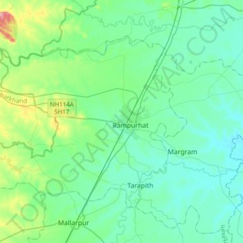
Name: Rampurhat - I topographic map, elevation, terrain.
Location: Rampurhat - I, Birbhum, West-Bengalen, India (24.09286 87.57834 24.26692 87.84840)
Average elevation: 42 m
Minimum elevation: 20 m
Maximum elevation: 140 m