
Žbír topographic map
Interactive map
Click on the map to display elevation.
About this map
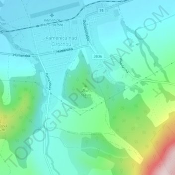
Name: Žbír topographic map, elevation, terrain.
Location: Žbír, okres Humenné, 06783, Slovaquie (48.92433 22.00191 48.92443 22.00201)
Average elevation: 246 m
Minimum elevation: 165 m
Maximum elevation: 556 m