
Gramalote topographic map
Click on the map to display elevation.
Gramalote
El municipio cubre una superficie de 151 kilómetros cuadrados y limita con los municipios de Santiago y el Zulia al oriente, con Sardinata y Lourdes al norte y occidente, Villa Caro al occidente y Salazar de Las Palmas al sur, del que está separado por el río Peralonso. Su altitud es de 1040 msnm(el casco urbano hasta 2010).
About this map
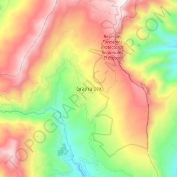
Name: Gramalote topographic map, elevation, terrain.
Location: Gramalote, Centro, Norte de Santander, Colombia (7.87684 -72.82667 7.95684 -72.74667)
Average elevation: 1,529 m
Minimum elevation: 919 m
Maximum elevation: 2,127 m