Geolocate

Cajicá topographic map

Click on the map to display elevation.

About this map

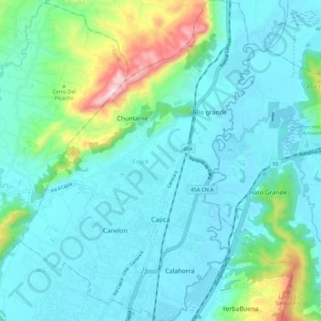
Name: Cajicá topographic map, elevation, terrain.

Location: Cajicá, Cundinamarca, Colombia (4.88415 -74.07089 4.98799 -73.99499)

Average elevation: 2,645 m

Minimum elevation: 2,541 m

Maximum elevation: 3,118 m

Gear up for your next adventure:

🧦Hiking Liner Socks - Thin base layer to prevent friction and blisters
Lightweight Camping Tent - Portable shelter optimized for Canadian backcountry camping
🎒Hiking Backpack - Lightweight and ergonomic backpacks for day hikes or multi-day treks
🦶Anti-Blister Balm - Prevents friction and hotspots during long ascents
🔪Outdoor Multitool - Versatile tool for repairs and food prep in the wild

As an Amazon Associate, this site earns from qualifying purchases at no extra cost to you.